How we mapped 32 sales, drew over 3 thousand visitors, and helped a community plant sale sell out before noon
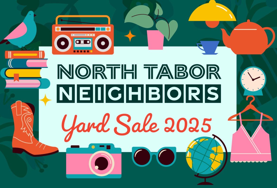
In Spring 2025, my wife and I organized North Tabor’s first-ever neighborhood-wide yard sale. As co-chair of the neighborhood association, I wanted to make it easy for residents to participate and for visitors to explore without friction. Without apps or accounts, just a smooth experience.
I built a real-time interactive map, integrated directly into the neighborhood website. Residents submitted their sale details through a Google Form, which updated a connected Google Sheet. A frontend built with Leaflet.js used the Google Sheets API to display the data on a live, zoomable map using OpenStreetMap tiles.
On the day of the sale, the response was overwhelming: more than 3,000 people used the map in a single day. Many participants sold out of items by early afternoon, some even before noon.
While preparing the map, we noticed signs for the Rainbow Garden Plant Sale, an independent event happening the same day. Without formally reaching out, we added their location to the map. They later told us they had a line around the block and sold out of plants within an hour. In hindsight, we probably should have asked permission, but we were happy to help spotlight another local effort.
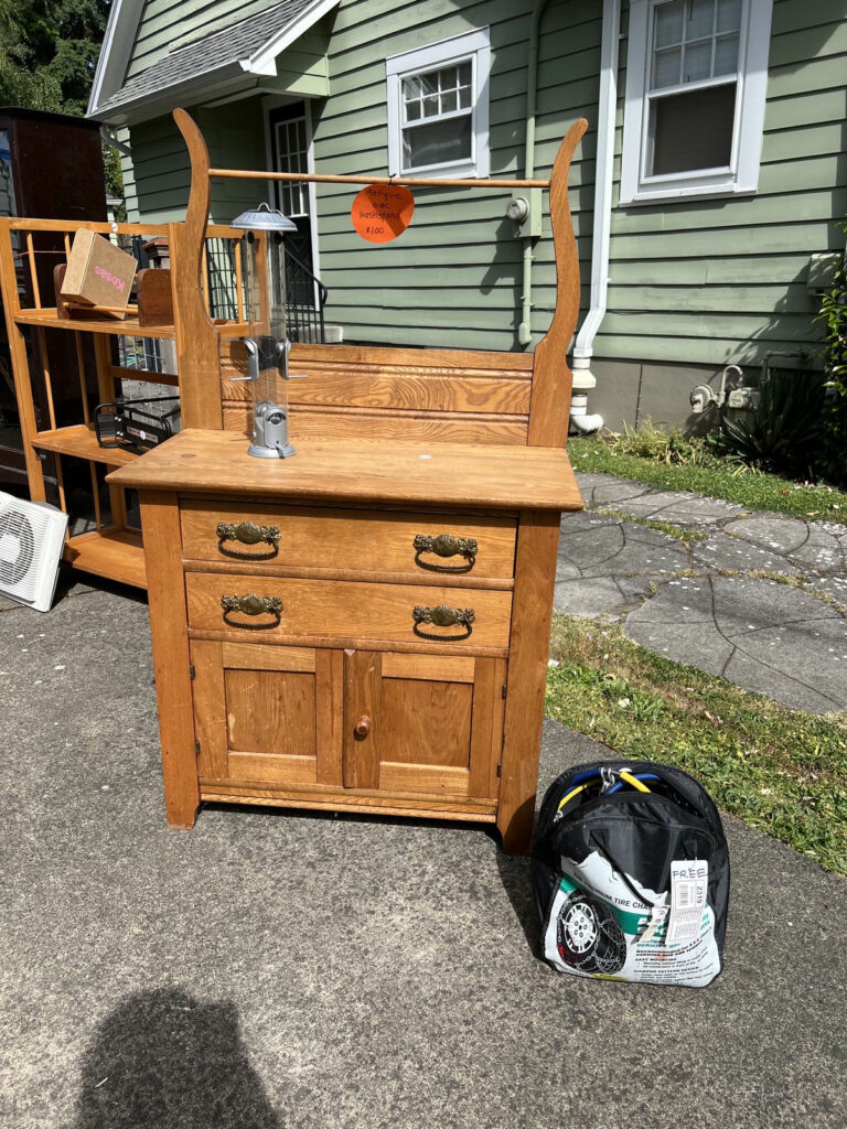
In all, 32 homes took part. We distributed over 50 flyers around the neighborhood ahead of the event. The day before, we personally visited each seller to deliver a thank-you note, a QR code sign linking to the live map, and a few basic supplies to help them get set up. These small details helped unify the experience and showed that the event was both coordinated and cared for.
The project was also mentioned in the Southeast Examiner, which brought broader visibility to the neighborhood and inspired ideas for future events.
With the event behind us, one clear lesson emerged: we need to better communicate how participants can remove or update their listing in case of emergencies or last-minute cancellations. A few sellers had unexpected conflicts, and clearer instructions would have made it easier to keep the map accurate and avoid visitor confusion.
This wasn’t about flashy tech. It was about thoughtful coordination and the right tool at the right moment. A live map, a few hundred lines of code, and some walking shoes made a big difference.
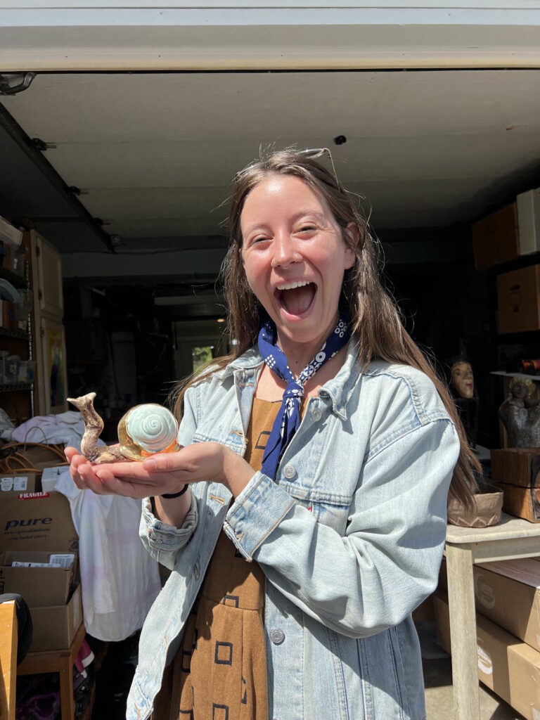
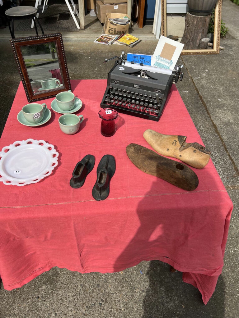
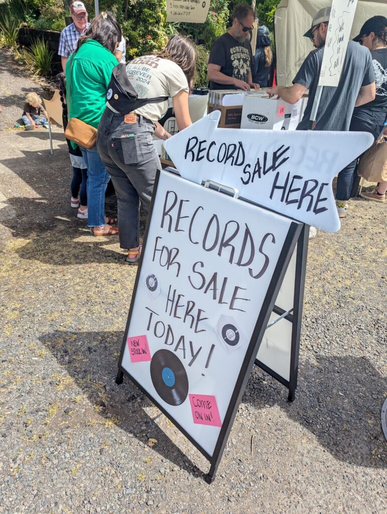
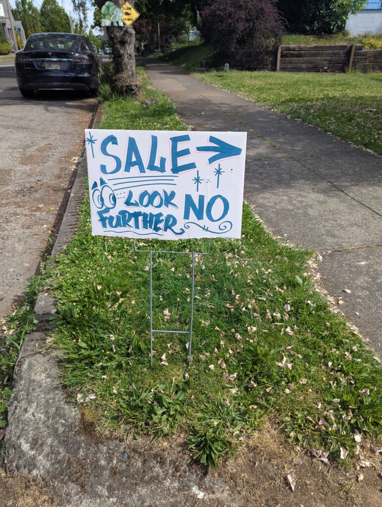
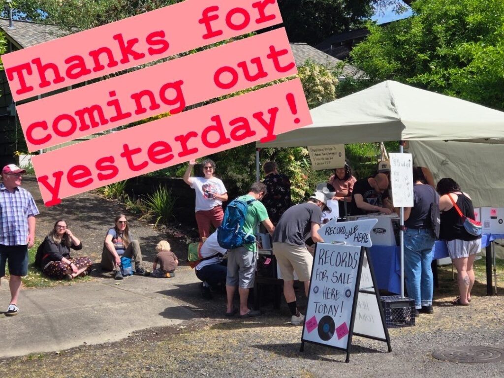
Images shared to the Tabor Neighbor Yard sale Liveframe Event